Why Mountain Projects Demand More From ArchViz
Build a house in most places and the sun does something predictable. Build one at 8,750 feet in a box canyon and the sun disappears behind a ridgeline at two in the afternoon in January, then floods the same room with alpine glare in July. Snow reflects light upward into ceilings. Aspen groves turn a west elevation gold for three weeks, then bare. Mountain architecture is a conversation with a landscape that refuses to hold still.
This is why architectural rendering in mountain areas is a different discipline than rendering a suburban infill project. The stakes are higher, the review process is more demanding, and the thing you are actually selling — how a building sits in the terrain — is the hardest thing to draw.
Design Review Is the Real Audience
Mountain resort communities are, without exception, protective of what their towns look like. Historic districts, design guidelines, view corridor protections, mass and scale limits, material and color restrictions — the specifics vary town by town and you should always confirm current requirements with the relevant planning department. But the pattern is consistent: someone will scrutinize your project against the character of the place before it gets approved.
A photorealistic rendering does something a plan set cannot. It answers the question the review board is actually asking, which is rarely "does this comply?" and almost always "what will this feel like from the street?" A well-built ArchViz image places the proposed building in its real context, with real surrounding structures, real topography, and defensible sun angles for the date and time in question.
That last point matters. Rendering software can compute accurate solar position for a given latitude, longitude, date, and hour. When a rendering shows the shadow a building casts on a neighbor's property at 3 p.m. on the winter solstice, that is not an artistic impression. It is geometry, and it can be defended.
Terrain Is Not a Backdrop
The most common failure in mountain home rendering is treating the site as scenery. A generic mountain silhouette dropped behind a model looks convincing to no one who lives there. Locals know these ridgelines the way they know their own hands.
Serious ArchViz for Colorado projects begins with real site data — survey information, LiDAR-derived terrain, aerial imagery, and on-site photography where possible. The building is then modeled into that terrain rather than in front of it. Retaining walls resolve into actual grade. The driveway climbs the slope that exists. The view from the great room is the view the client will genuinely have.
This is slower. It is also the difference between a rendering that sells a project and one that gets politely set aside.
Seasons, Light, and the Honest Image
Mountain clients are buying a lifestyle across four seasons, and a single image cannot carry that. Effective visualization for ski town architecture usually means a small set:
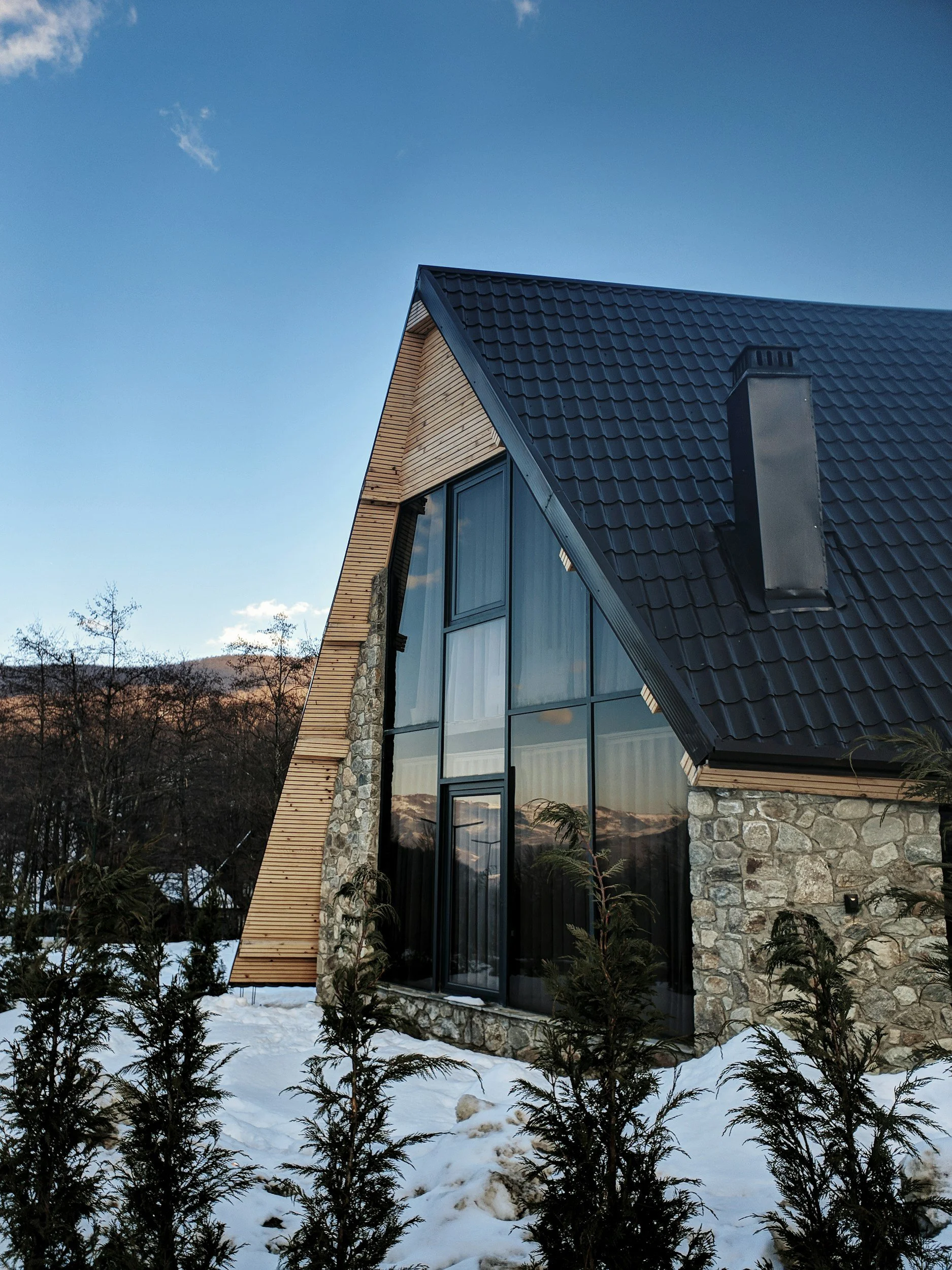
Winter exterior — the reason most of these homes exist. Snow load on rooflines, warm interior light spilling onto white ground at dusk, smoke from the chimney.
Summer exterior — decks in use, native landscaping established, the elevation that is buried in snow six months a year finally visible.
Interior with view — the moment the whole design is arranged around. Get the window glazing, the glare, and the actual mountain out that window right, or the image lies.
Aerial or context view — how the massing reads from the valley, the road, or the lift.
There is a temptation in this market to render the aspirational rather than the actual: to widen the view, lower the neighboring roofline, and put more sun on the deck than the site ever receives. Resist it. A client who moves in and finds the light wrong remembers who drew the picture. Photorealistic rendering earns its name by being accurate.
What Renderings Do for a Mountain Project's Budget
The financial argument for ArchViz is the same one we make for BIM: catching a decision early costs almost nothing, and catching it late costs a great deal. A rendering that reveals a window is aimed at a neighbor's garage rather than the peak costs a few hours to revise. Discovering the same thing after framing costs considerably more.
Renderings also compress the approval timeline. Design review boards and HOA committees make faster, more confident decisions when they can see the thing. Fewer continuances, fewer rounds, fewer months of carry.
Working With Lunix3D
Lunix3D works from Telluride, in the San Juans, and we produce photorealistic renderings, 3D modeling, and BIM coordination for projects across Colorado's mountain communities and well beyond. We build to real terrain, we compute real sun, and we tell clients when an image is flattering their project more than it should.
If you are preparing a submittal for design review, marketing a spec home, or simply trying to understand what your own drawings will become, we would like to see the project.
Reach us through Lunix3D.com.